Boat Cruises Game Drives Fishing Camping Mobile Safaris Transfers
Monday, 23 May 2011
Tuesday, 29 March 2011


Monday, 28 March 2011
chobe national park map

Chobe National Park, which encompasses 11,000 sq km, is home to Botswana’s most varied wildlife. The riverfront strip along the northern tier, with its perennial water supply, supports the greatest wildlife concentrations, but when they contain water, the lovely Savuti Marshes of the Mababe Depression in western Chobe also provide prime wildlife habitat and attract myriad water birds. Rarely-visited Ngwezumba, with its pans and mopane forests, is the park’s third major region, and Chobe’s northwestern corner just touches the beautiful Linyanti Marshes.
The northern park entrance lies immediately west of Kasane and is accessible to conventional vehicles. However, to proceed through the park or approach from Maun, you’ll need a high-clearance 4WD. Due to mud and flooding, Savuti may be inaccessible from January to March.
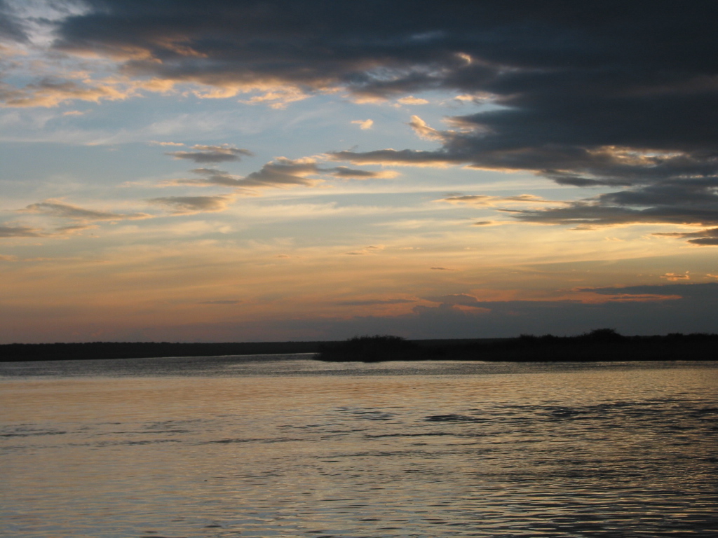

The Chobe River, which flows along the Northeastern border of the park, is a drinking spot for elephants and buffaloes at dry season. This is the place were I have made this video with photo’s end of december 2009. The famous bee-eater is also spotted here, along the river. The park is probably best known for its spectacular elephant population: 50000 elephants today, it is actually the highest elephant concentration of Africa. Moreover, most of them are probably part of the largest continuous surviving elephant population on Earth. The elephant population seems to have solidly built up since 1990, from a few thousand. They have not been affected by the massive illicit exploitation of the 1970s and 1980s. Elephants living here are Kalahari elephants, the largest in size of all known elephant populations. Yet they are characterized by rather brittle ivory and short tusks, perhaps due to calcium deficiency in the soils.

Victoria Falls waterfall, c.1 mi (1.6 km) wide with a maximum drop of 420 ft (128 m), in the Zambezi River, S central Africa, on the Zambia-Zimbabwe border. The falls are formed as theZambezi plummets into a narrow chasm (c.400 ft/120 m wide) carved by its waters along a fracture zone in the earth's crust. Numerous islets at the crest of the falls divide the water to form a series of falls. The thick mist and loud roar produced there are perceptible from a distance of about 25 mi (40 km). The Boiling Pot, the beginning of a winding gorge (c.50 mi/80 km long) through which the river flows below the falls, is spanned by a 650 ft (198 m) long bridge that is 310 ft (94 m) above the river. The gorge is now partially submerged as a result of the construction of the Kariba Dam . DavidLivingstone , the British explorer, visited the falls in 1855 and named them for Queen Victoria. The falls are part of two national parks and draw many tourists to the area.


Subscribe to:
Comments (Atom)